GPSCharts has been providing hydrographic and geophysical survey services for more than 20 years.
Below find copy's of Survey reports
Services include:
- Hydrographic (MBES) surveys
- Geophysical site surveys:
- Single and multiple pass surveys acquiring swathe bathymetry, single and multi-channel seismic, sub-bottom profile
- Pre and post construction (scour) surveys:
- MBES and side-scan sonar surveys to determine seabed changes, map debris, evaluate (3D) seabed mobility, accretion and erosion (scour) around installed infrastructure or dredged areas
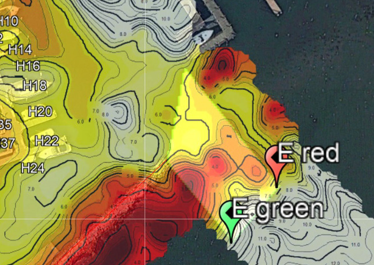
Seaview Harbor Marina


Click here for MOVIE
